
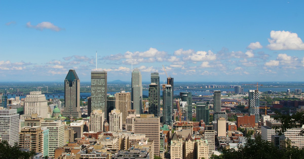
 MontrealQuebec, CanadaView guide for Montreal
Quebec, Canada
See more of
Quebec City.
Explore Old Québec on foot, run between landmarks on the Plains of Abraham, or cycle a riverside section of the Promenade Samuel-De Champlain.
Choose a walk, run or bike outing and explore with Fitopoly.
Content and sources checked · Fitopoly editorial review (Codex-assisted)
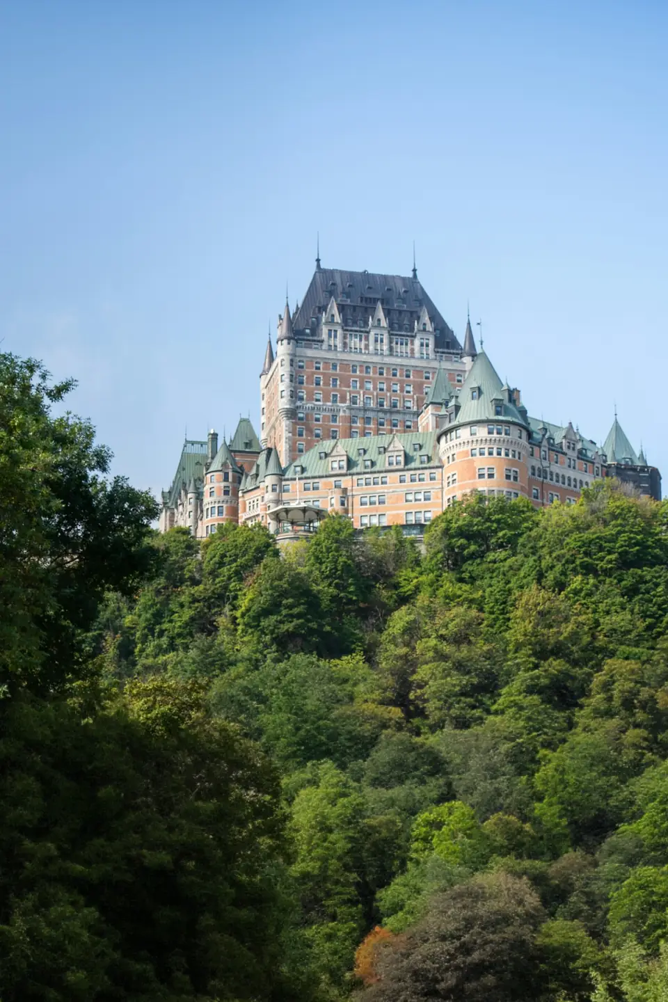
Try one outing or spread them across three days. These ordered stops are flexible suggestions; choose open paths between them and check current conditions. Place links show locations, not a reviewed navigation route.
Walking · 5 stops
From the lower town to the terrace
Begin at Place Royale, explore Petit-Champlain, then climb to Dufferin Terrace and the upper town’s landmarks.
Place Royale
Start in Place Royale and take in the square. The surrounding public streets lead toward the Petit-Champlain neighbourhood.
View place on map: Place RoyalePetit Champlain
Explore the lanes of Petit-Champlain at walking pace. This district marker is close to Place Royale; follow street signs through the neighbourhood before climbing toward the terrace.
View place on map: Petit ChamplainTerrasse Dufferin
Make your way uphill by an open public route to Dufferin Terrace. Pause on the boardwalk for a view over the St. Lawrence.
View place on map: Terrasse DufferinChâteau Frontenac
Walk toward the Château Frontenac exterior. Enjoy the architecture from public areas before continuing through the upper town.
View place on map: Château FrontenacNotre-Dame Basilica-Cathedral
Finish outside the basilica-cathedral near Place de l’Hôtel-de-Ville. Check visitor arrangements separately if you wish to enter.
View place on map: Notre-Dame Basilica-Cathedral
Take this Walking outing with you.


Running · 3 stops
Landmarks on the Plains of Abraham
Warm up beside the Joan of Arc Garden, run toward Martello Tower 1, and continue across the park toward the fine arts museum.
Joan of Arc Garden
Begin beside the garden with an easy warm-up. Keep the narrow garden paths for a walking pause before joining the wider park paths.
View place on map: Joan of Arc GardenMartello Tower 1
Run toward the tower using open park paths. Pause outside the monument, then continue west across the Plains.
View place on map: Martello Tower 1Musée national des beaux-arts du Québec
Finish near the museum buildings at the western side of the outing. Cool down on the public park paths and choose your return route.
View place on map: Musée national des beaux-arts du Québec
Take this Running outing with you.
Biking · 2 stops
The river and a Sillery heritage stop
Set off from Quai des Cageux along the Promenade Samuel-De Champlain, then make a short heritage detour to the Jesuit House of Sillery before returning.
Quai des Cageux
Start by the quay and join the promenade’s signed cycling path heading toward Sillery. Pause off the path to enjoy the river views.
View place on map: Quai des CageuxJesuit House of Sillery
Leave the riverside path using marked crossings and public connections to chemin du Foulon. Stop outside the heritage house, then return to the promenade for the ride back.
View place on map: Jesuit House of Sillery
Take this Biking outing with you.
Take it with you
Your next step: a day in Fitopoly.
Choose Today, Tomorrow or another date in Explore. Review the stops and add an outing with one action, then follow your saved plan at your own pace.
Nearby suggestions appear when you are less than 20 km from an outing’s first stop. Sign in and allow location access in the app to find them.
Already have Fitopoly? Open Explore. Reading these guides is free and needs no account or location permission.
More city guides
MontrealQuebec, CanadaView guide for Montreal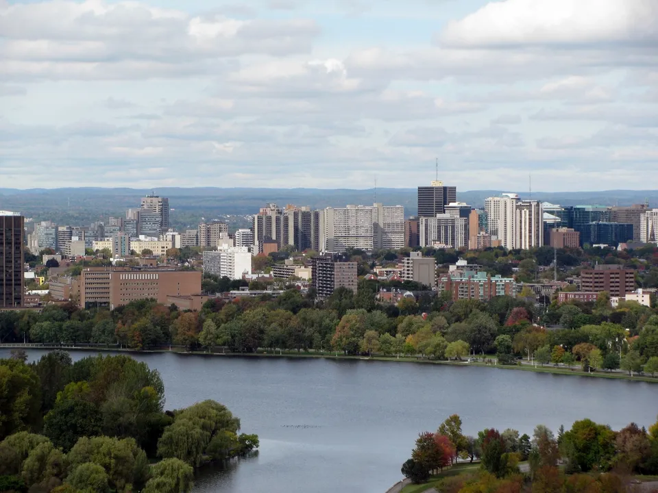 OttawaOntario, CanadaView guide for Ottawa
 TorontoOntario, CanadaView guide for Toronto
More city photography credits
Photograph: Michael Beener, used under the Unsplash License.
Photograph: ceedub13 (resized and converted to WebP), used under the CC BY 2.0.

Photograph: Vincent Talavera, used under the Unsplash License.
Photograph: clement proust, used under the Unsplash License.