
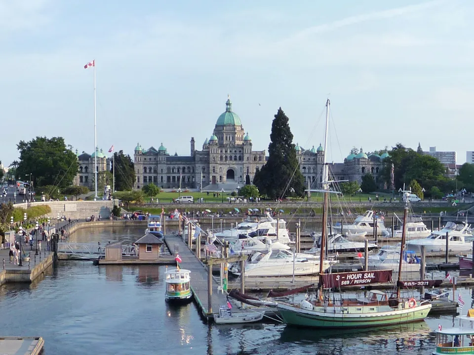
 VictoriaBritish Columbia, CanadaView guide for Victoria
British Columbia, Canada
See more of
Vancouver.
Walk beside Coal Harbour, run from English Bay toward Stanley Park, or ride the south shore of False Creek. Enjoy Vancouver’s waterfront with three different outings.
Choose a walk, run or bike outing and explore with Fitopoly.
Content and sources checked · Fitopoly editorial review (Codex-assisted)
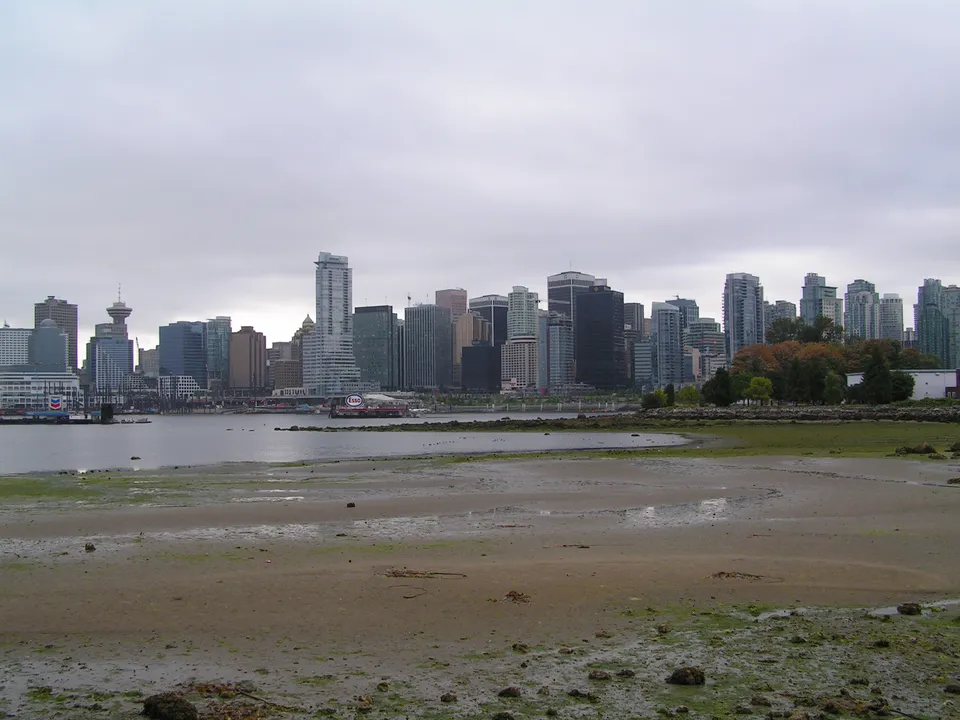
Try one outing or spread them across three days. These ordered stops are flexible suggestions; choose open paths between them and check current conditions. Place links show locations, not a reviewed navigation route.
Walking · 2 stops
Coal Harbour to Brockton Point
Start outside Canada Place and follow the pedestrian waterfront into Stanley Park, finishing at Brockton Point.
Canada Place
Begin on the public exterior promenade at Canada Place. Follow the waterfront west through Coal Harbour toward Stanley Park.
View place on map: Canada PlaceBrockton Point
Continue on the pedestrian seawall around the park’s eastern shore to Brockton Point. Pause off the path for harbour views and plan your return.
View place on map: Brockton Point
Take this Walking outing with you.


Running · 2 stops
English Bay to Second Beach
An out-and-back waterfront run between English Bay Beach and Second Beach, with a relaxed finish beside the water.
English Bay Beach
Warm up on the promenade at English Bay Beach, then follow the pedestrian seawall north toward Stanley Park.
View place on map: English Bay BeachSecond Beach
Pause clear of the path at Second Beach. Return along the same open pedestrian route to English Bay for your cool-down.
View place on map: Second Beach
Take this Running outing with you.
Biking · 2 stops
Science World to Granville Island
Follow False Creek’s southern waterfront from Science World to Granville Island and return along the same open cycling route.
Science World
Meet outside Science World. Join the signed cycling route around the venue and ride west along the southern shore of False Creek.
View place on map: Science WorldGranville Island
Use the signed street connection into Granville Island. Park or walk your bicycle for a market-area pause, then return along the south-shore route.
View place on map: Granville Island
Take this Biking outing with you.
Take it with you
Your next step: a day in Fitopoly.
Choose Today, Tomorrow or another date in Explore. Review the stops and add an outing with one action, then follow your saved plan at your own pace.
Nearby suggestions appear when you are less than 20 km from an outing’s first stop. Sign in and allow location access in the app to find them.
Already have Fitopoly? Open Explore. Reading these guides is free and needs no account or location permission.
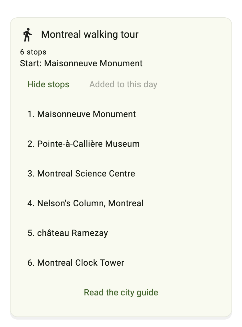
More city guides
VictoriaBritish Columbia, CanadaView guide for Victoria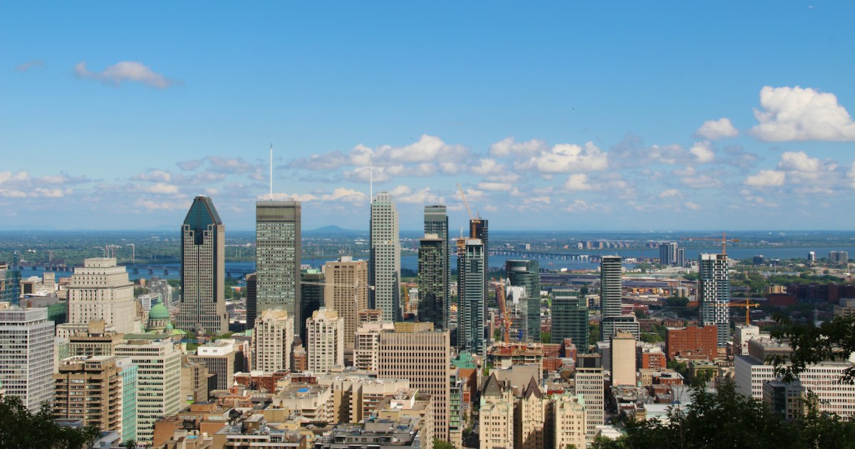 MontrealQuebec, CanadaView guide for Montreal
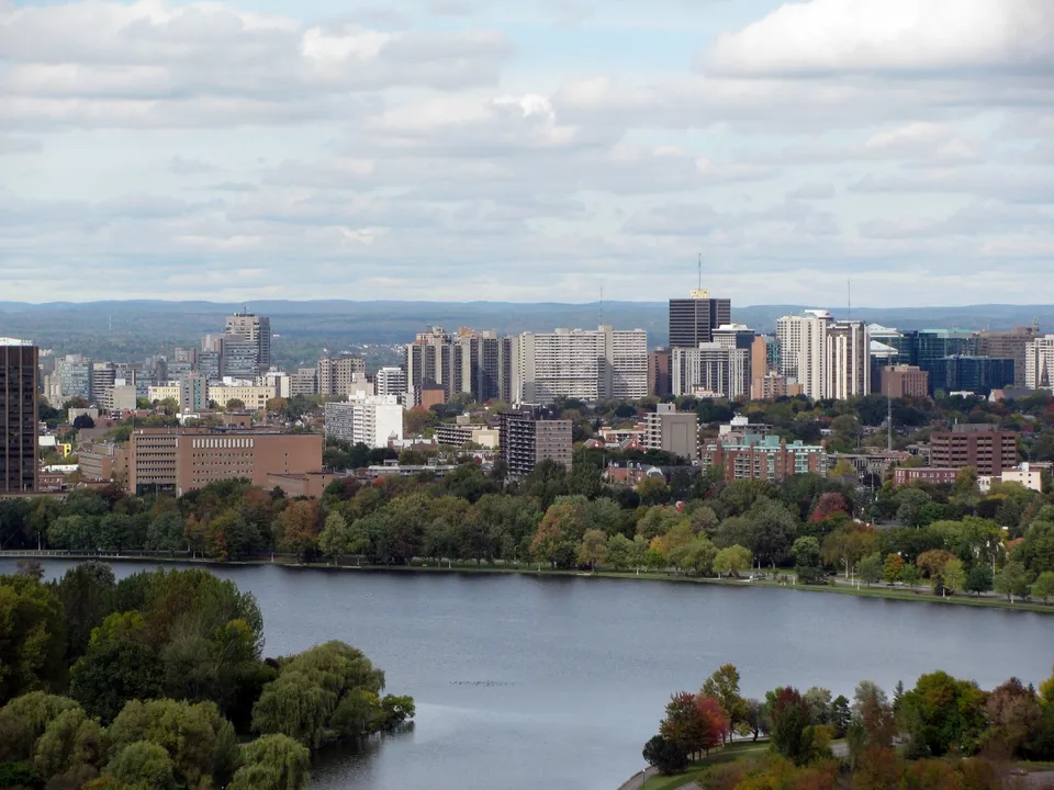 OttawaOntario, CanadaView guide for Ottawa
More city photography credits
Photograph: Bobak Ha’Eri (cropped, resized and converted to WebP), used under the CC BY 3.0.

Photograph: Michael Beener, used under the Unsplash License.
Photograph: ceedub13 (resized and converted to WebP), used under the CC BY 2.0.

Photograph: Tjipke de Vries (resized and converted to WebP), used under the CC BY 2.5.
