
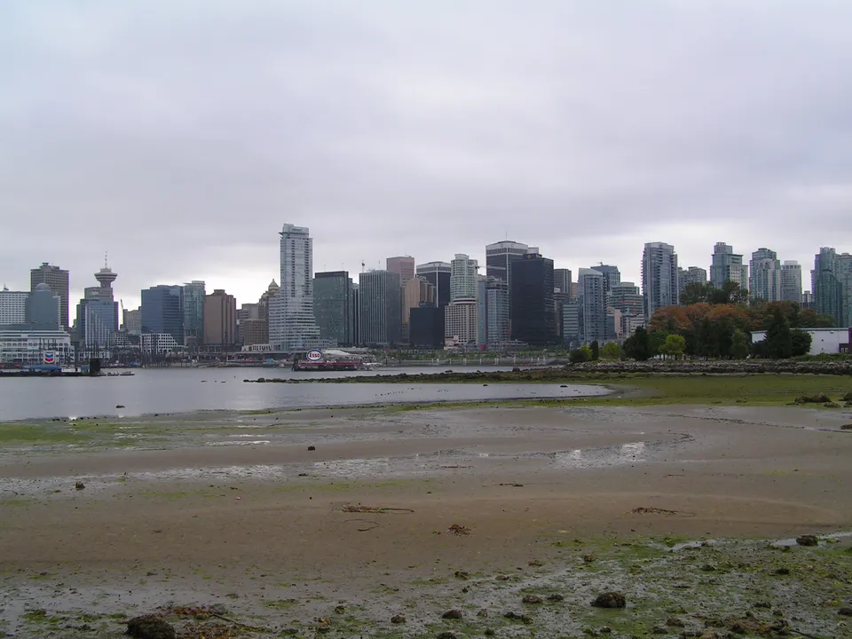
 VancouverBritish Columbia, CanadaView guide for Vancouver
British Columbia, Canada
See more of
Victoria.
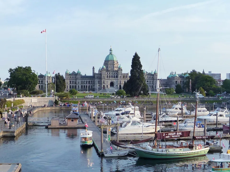
Discover Victoria’s harbour landmarks on foot, run from Beacon Hill Park to the coast, or take a Dallas Road ride between Ogden Point and Clover Point.
Choose a walk, run or bike outing and explore with Fitopoly.
Content and sources checked · Fitopoly editorial review (Codex-assisted)
Try one outing or spread them across three days. These ordered stops are flexible suggestions; choose open paths between them and check current conditions. Place links show locations, not a reviewed navigation route.
Walking · 3 stops
Parliament, museum and Beacon Hill
Begin beside the Parliament Buildings, pause outside the Royal BC Museum, then continue into Beacon Hill Park.
British Columbia Parliament Buildings
Start outside the Parliament Buildings on the public Belleville Street side, with a view toward the Inner Harbour.
View place on map: British Columbia Parliament BuildingsRoyal British Columbia Museum
Walk east to the Royal BC Museum exterior. Pause outside and use marked crossings toward the southbound Douglas Street connection.
View place on map: Royal British Columbia MuseumBeacon Hill Park
Enter Beacon Hill Park using open public paths. Enjoy a gentle circuit of the gardens and finish at a park exit that suits your return.
View place on map: Beacon Hill Park
Take this Walking outing with you.


Running · 2 stops
Beacon Hill to Clover Point
Warm up in Beacon Hill Park, run toward Dallas Road, and follow the pedestrian coastal path east to Clover Point.
Beacon Hill Park
Warm up on an open path in Beacon Hill Park. Head south through the park toward the Dallas Road pedestrian waterfront connection.
View place on map: Beacon Hill ParkClover Point
Run east beside Dallas Road to Clover Point, slowing to a walk at the viewpoint. Cool down clear of other path users.
View place on map: Clover Point
Take this Running outing with you.
Biking · 2 stops
Ogden Point to Clover Point
A coastal out-and-back ride along Dallas Road, using its signed cycling connections between Ogden Point and Clover Point.
Ogden Point
Meet on the public Dallas Road frontage near Ogden Point. Join the signed coastal cycling route heading east, keeping out of gated port areas.
View place on map: Ogden PointClover Point
Reach Clover Point using the signed cycling connection. Dismount for a viewpoint pause and return toward Ogden Point when ready.
View place on map: Clover Point
Take this Biking outing with you.
Take it with you
Your next step: a day in Fitopoly.
Choose Today, Tomorrow or another date in Explore. Review the stops and add an outing with one action, then follow your saved plan at your own pace.
Nearby suggestions appear when you are less than 20 km from an outing’s first stop. Sign in and allow location access in the app to find them.
Already have Fitopoly? Open Explore. Reading these guides is free and needs no account or location permission.
More city guides
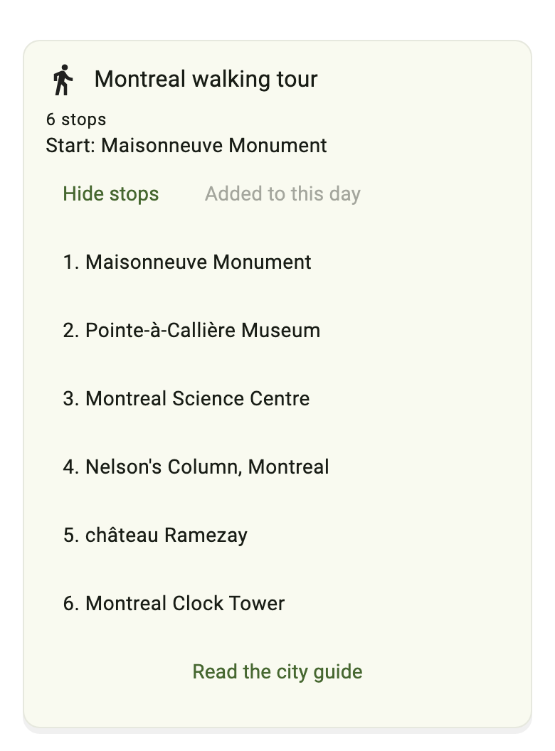
VancouverBritish Columbia, CanadaView guide for Vancouver MontrealQuebec, CanadaView guide for Montreal
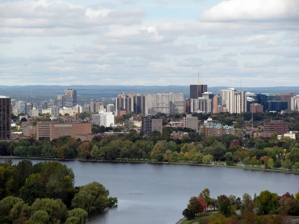 OttawaOntario, CanadaView guide for Ottawa
More city photography credits
Photograph: Tjipke de Vries (resized and converted to WebP), used under the CC BY 2.5.

Photograph: Michael Beener, used under the Unsplash License.
Photograph: ceedub13 (resized and converted to WebP), used under the CC BY 2.0.

Photograph: Bobak Ha’Eri (cropped, resized and converted to WebP), used under the CC BY 3.0.
